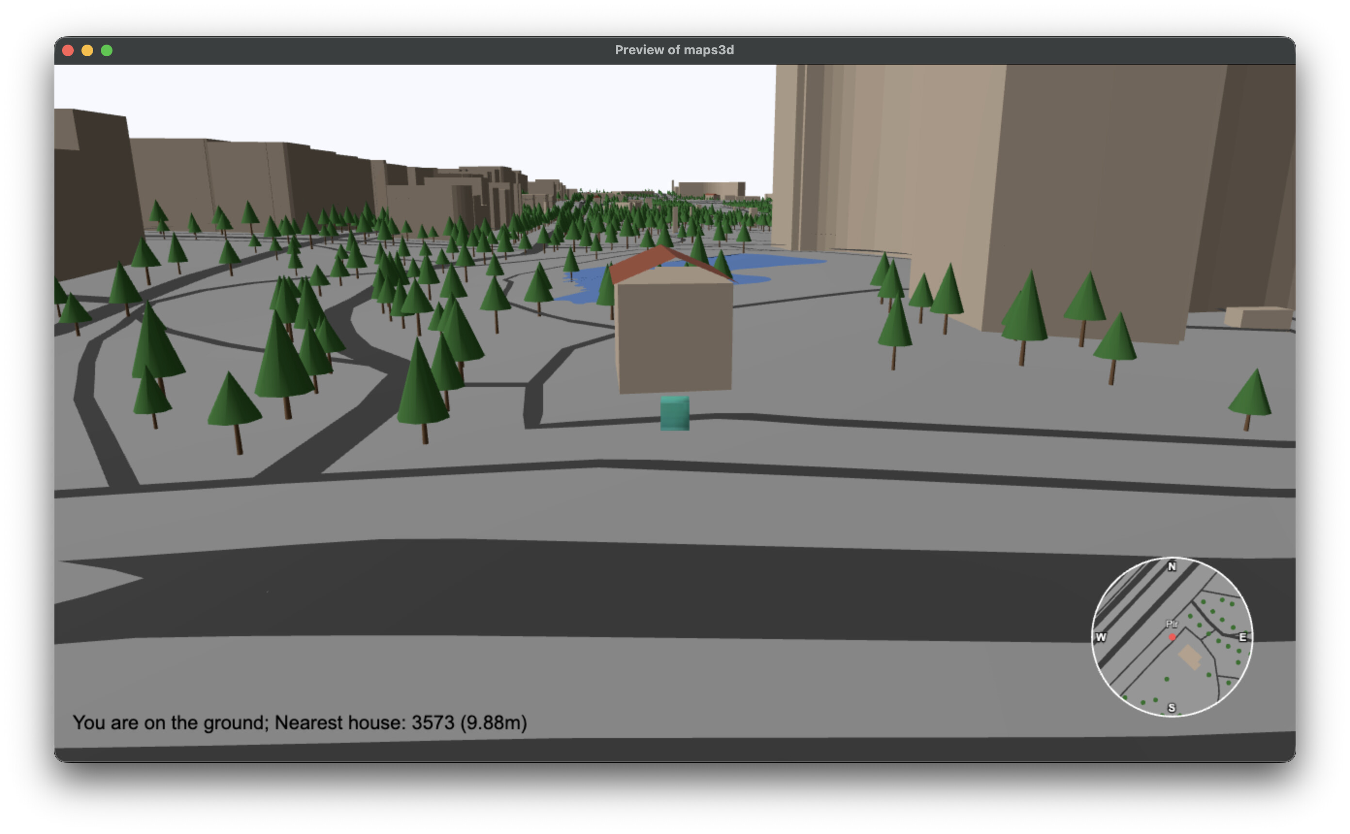
I’m cooking a new extension. Put lat/lng coordinates and get 3d render of the real-world area (powered by OpenStreetMap data).
- 3d rendering of large dense areas (tested on 4 square km in the center of Paris)
- realistic elevation
- buildings, roads, water bodies, traversable bridges, trees
- buildings with optional (experimental) roofing (gabbled/hipped)
- ground and building collisions
- and much more (in development): interacting with houses/bridges, destroying houses/bridges, pathfinding (follows terrain elevation), detecting the type of the ground below the object (player) so you can boost cars when on road for example, and so on…
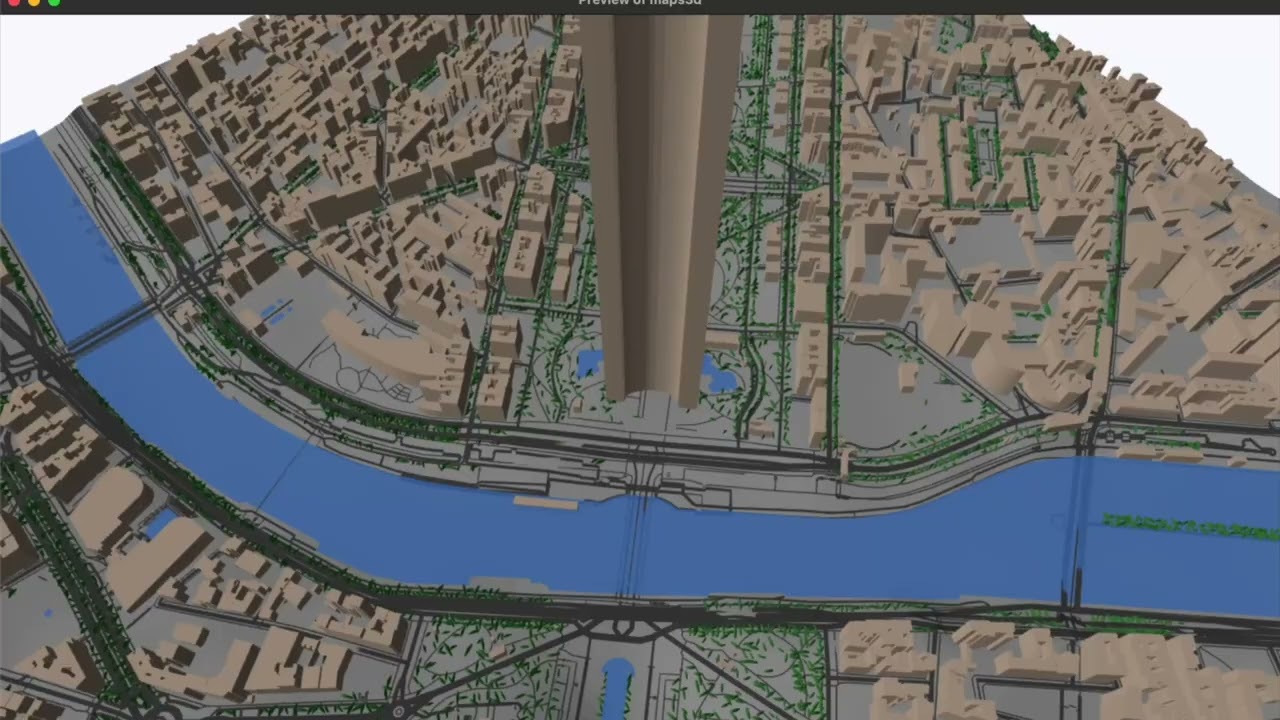
this is a video recorded a few days ago and by now I’ve added a minimap, sshot also showing roofing (my greatest idea xD) and “sensing” of the terrain (whether you’re on the ground/road/water/…) and of the (nearest) buildings - this opens up unlimited ways to interact with the map objects. the same exists for bridges. you can even destroy both